This blog post is an excerpt from GovLoop’s recent guide “State and Local Government: 8 Tech Challenges and Solutions.” In it, we provide an overview of case studies from governments across the country. Download the full guide here.
An interview with Sam Edelstein, Chief Data Officer, Syracuse, New York
Challenge: Making Datasets Accessible for Citizens
Make no mistake about it, modernizing any part of a city is a monumental task. Challenges abound, no matter which area receives the upgrade.
This is especially true when it comes to updating and disseminating years’ worth of data to the public. In 2017, most local governments have access to technology that displays public information in an online format, free for all to see. The problem is guring out how to do it.
Unfortunately, it’s not as simple as having someone on staff who knows how to use Excel. Not only do governments need that kind of expertise, but they need to find a way to publish data without much of a budget — if any. To add to that, it’s crucial to determine what data points are most important and beneficial to the community.
The city of Syracuse, New York, has sought to tackle these issues in the past year.
“There were a large number of issues surrounding how we managed and moved data throughout the organization, including how we give access to the public and different organizations,” said Sam Edelstein, Syracuse’s Chief Data Officer. “There were certain datasets that departments were publishing and sending out to different organizations throughout the city on an ad hoc basis … but it was only based on requests.”
In October 2016, the city partnered with What Works Cities, a national initiative that helps midsize cities enhance their use of datasets. By March, Syracuse had its initial policy and process-oriented details ironed out. By July, Edelstein and his co-workers were ready to launch.
Solution
Residents can also find thorough information on vacant buildings, older buildings that pose a risk of human lead consumption and the exact spots of recent water main breaks. In the span of a few seconds, they can pull up a visualization of their neighborhood, with helpful tips such as when and where roads will close in the near future. It’s easy to see how the site could become a critical tool for the city moving forward.
“Talking to organizations around the city, or neighborhood groups or the university … that’s the best way to make sure the data gets used, and that we release what people are actually interested in,” Edelstein said.
He added that he’s heard from several organizations, such as the school system, about how the portal has brought their attention to datasets they didn’t know existed. The portal also represents a positive step forward for a city increasingly looking to operate under an open government philosophy.
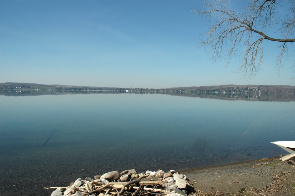
Edelstein explained how the portal was recently used to inform the public. Syracuse obtains all of its drinking water from Skaneateles Lake, about 20 miles away. That lake suffered an especially bad outbreak of toxic algae this summer, and residents worried about health implications. In late September, the city conducted a study of the drinking water quality — which found almost no traces of the algae — and published the results on the portal.
“We may have been able to [put the results online] prior to this portal being there, but it’s certainly allowed us to do it in a way that’s easy to understand [and] easy to contextualize,” Edelstein said. “And if someone wants to download the data, they can do that there too.”
The city uses Esri’s ArcGIS software for DataCuse. Because it already owns a license, Edelstein explained, the portal came at no extra cost.
