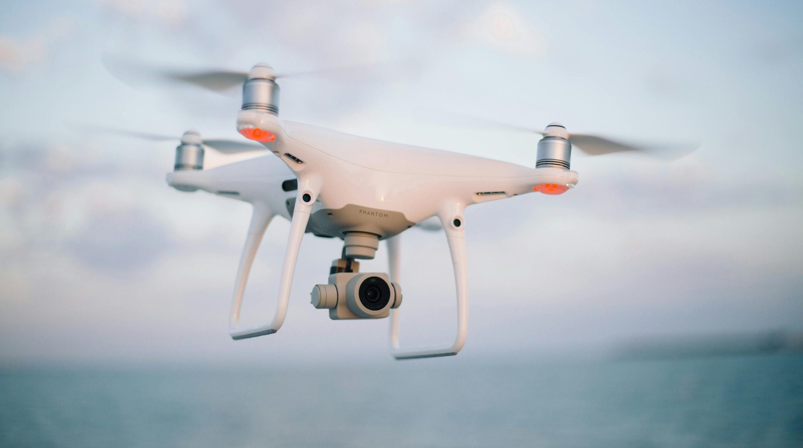
Innovative thinking and emerging capabilities are unlocking new ways to use drones in disaster prevention and planning.
As Hurricane Milton formed off the Atlantic coast, the National Oceanic and Atmospheric Administration deployed a sophisticated drone into the heart of the still-escalating storm. The Black Swift SØ unmanned aircraft system (UAS), designed to withstand extreme conditions, collected crucial data on air temperature, dewpoints, and wind patterns, enabling scientists to predict the hurricane’s path and severity with unprecedented accuracy. This proactive deployment represents how far drone technology has evolved from its early days as simple eye-in-the-sky cameras in the 2010s.
Today’s drones serve as comprehensive data collection and analysis platforms thanks to technological advances that have dramatically expanded their utility. Larger drones offer extended flight times and enhanced endurance. Artificial intelligence and autonomous features make models easier to deploy and operate. And while cameras will always be a vital tool, other sensor payloads like thermal imaging or gas detectors can offer insights that may be hidden from the naked eye, such as a person trapped under debris or a ruptured gas line.
This new generation of sophisticated UAS is transforming how we prepare for, respond to, and recover from disasters. State and local leaders can make data-driven decisions about evacuations and resource allocation before a hurricane makes landfall, marking a new era in disaster preparedness.
The right tool for many jobs
Hurricane Helene’s aftermath in western North Carolina demonstrated both the potential and challenges of widespread drone deployment. Local emergency response teams used drones to conduct rapid damage assessments, completing in hours what once took days of ground surveys. Using drone-captured imagery, emergency managers could quickly identify critically affected areas, optimize resource deployment, and plot safe routes for emergency responders.
The scale of drone operations during the response did present new challenges. The increased number of planes, helicopters and drones in the skies led to 30 mid-air close calls on September 28, according to CBS News. The congestion prompted U.S. Transportation Secretary Pete Buttigieg to call for civilian drone pilots to heed emergency flight restrictions to avoid delaying critical aid.
Despite these challenges, drones proved invaluable in coordinating community-wide relief efforts. In addition to official government supply deliveries, Walmart and autonomous drone company Wing received special Federal Aviation Administration permission to deliver prescription medicines and essential supplies to a local shelter. Local farmers and volunteer groups organized drone drops of food and water to communities isolated by mudslides and washed-out roads, demonstrating how to establish vital supply lines when traditional routes failed.
Today’s work prepares for tomorrow’s problems
Drones play a crucial role in immediate relief efforts, but the data they collect may unlock ways to mitigate problems for the next disaster. A team of Texas A&M hurricane researchers is using drone-captured imagery from recent hurricanes to train AI models that could predict the impact of future storms. By layering drone imagery over satellite data, emergency managers can perform rapid change detection analysis, helping to identify developing threats and plan more effective responses.
The future promises even more sophisticated capabilities. Autonomous swarms — multiple UAS working together in concert — will be able to cover larger areas than single drones. Advances in AI will enable real-time object recognition and predictive analytics without operator intervention. New sensor technologies will expand potential applications to include detection of chemical and nuclear threats, structural analysis, and other specialized capabilities.
The evolution of drone technology in disaster response isn’t just about collecting more data — it’s about gathering actionable intelligence when it matters most. As climate-related disasters become more frequent and severe, this shift from reacting to disasters to getting ahead of them could save countless lives and resources.
For information about Carahsoft’s work with autonomy and robotics technology, visit Autonomy & Robotics Technology for Government | Carahsoft.
Lacey Wean is Director of Geospatial, Space, Autonomy & Robotics Technology at Carahsoft Technology Corp.


Leave a Reply
You must be logged in to post a comment.