![]()
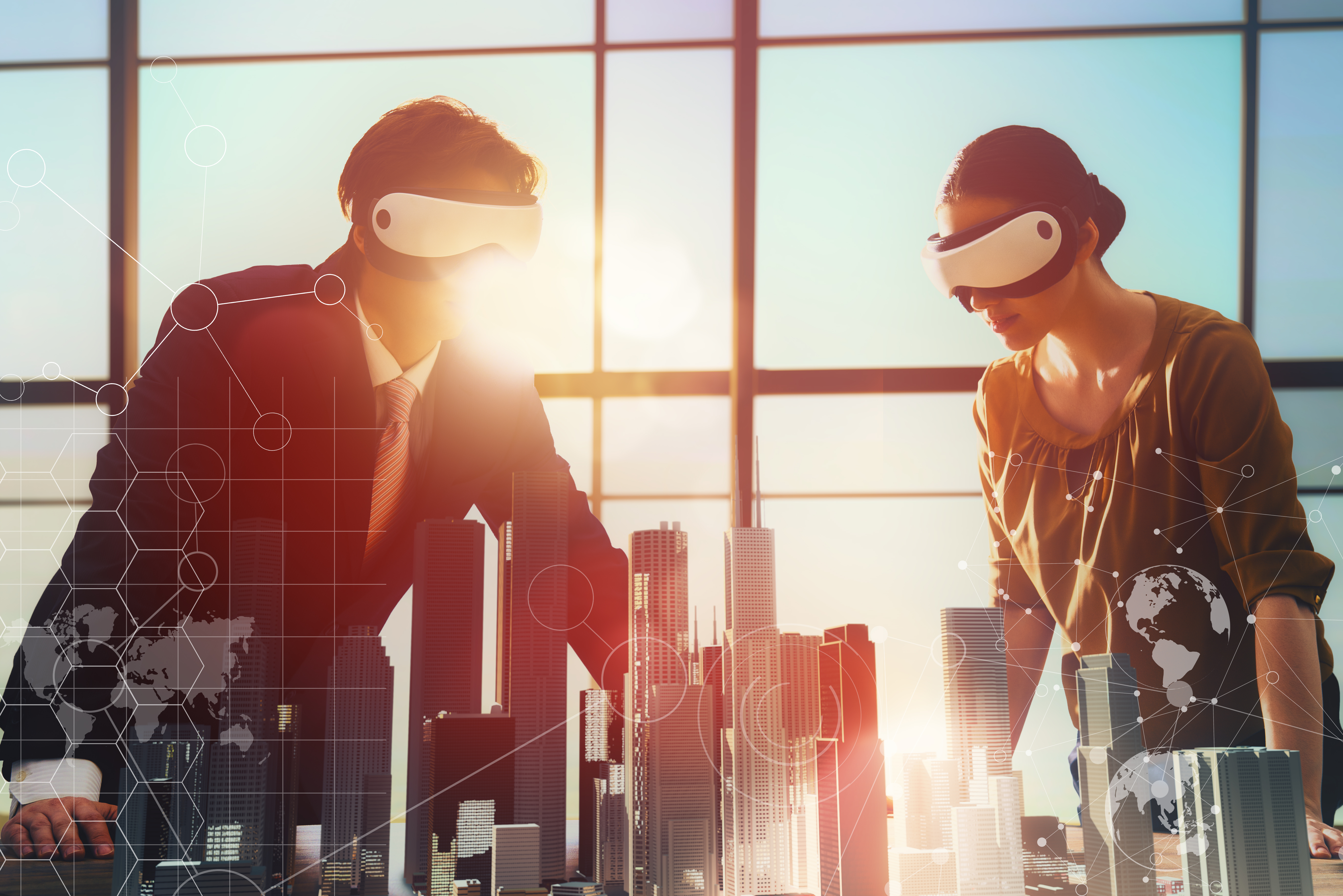
I am willing to bet that you, or your kids, spent some time last summer playing Pokemon Go. That game was exciting – and not just because you gotta catch ‘em all. It was exciting because it helped introduce the concept of merging real-life maps and information with things that don’t exist in our real space. The game helped make a concept more accessible and emphasized that three dimensional models have all sorts of applications, from planning and analysis for anything from urban development to understanding where to send first responders in the event of an emergency. When three dimensional modeling can be fused with virtual reality or augmented reality, it makes it even easier for people to understand what they are seeing.
You might not be aware of the differences between virtual reality and augmented reality. Virtual reality means creating a computer image of the real world. VR helps people to understand what could be possible by combining both things that are real – a 3D model of a downtown using geographic data – and not yet real – a 3D model of a proposed building. The building model can be placed into the existing 3D urban location to see what the proposed building will look like in the real space.
Augmented reality is different: it involves placing an image on a picture of the real world. An example of AR could be officials bringing up an image of a building that is on fire and overlaying a schematic so they can direct those first responders to fire escapes and rooms within the building. AR is now opening up the entire field of GIS to people who might not be keen on geography or mapping.
Augmented and virtual realities have a unique role to play in government, particularly when it comes to addressing our nation’s aging infrastructure and infrastructure upgrades. When it comes to infrastructure, our situation is pretty dire. In fact, the American Society of Civil Engineers recently released their 2017 Infrastructure Report Card, and our nation’s grade: D+. Ouch. There are several areas in which I think the application of AR and VR will make an immediate impact as infrastructure takes a top slot in our nation’s priorities.
- Roadways and Bridges: Using AR enables the alignment of virtual objects with the real environment, and unlike a physical model, that alignment is continuous across time and space and has an elastic scalability. This also allows for the collaboration of multiple users during the design and engineering process through observation of and interaction with visual simulations. Compared to the costly process of model building, AR allows the user to take advantage of real-world context (think terrain or existing structures) and position them as backgrounds providing a more holistic picture of the surroundings at a fraction of the cost.
- Water Infrastructure: One of the most urgent needs related to infrastructure involves updating and replacing water pipes in countless communities across the nation. We all know about the urgent needs of Flint, Michigan but the sobering fact is that Flint is not a rare or isolated case. Water infrastructure is at the top list for upgrades and augmented and virtual realities can play significant roles. Augmented reality can be applied to mark a red ‘x’ on the areas new pipes should be laid. Shade could also be applied to an augmented image to indicate an area which would be dangerous for them to dig or land which is owned by another entity. Figuring out where to apply sensing technology to the water distribution system will also help to remedy water losses which can lead to significant savings.
- Smart Communities: Smart cities has moved well beyond a buzz word and virtual and augmented realities are critical in helping communities plan out their smart infrastructure. Identifying urban canyons and indicating areas where signal strength would be an issue helps cities plan for proper sensor placement, which is critical to enabling communications between connected devices like autonomous cars and buses or smart street lamps. Being able to easily visualize these components and their pathways provides a key planning tool for cities which can be used in conjunction with AR and VR to make the planning process more transparent.
Governments that harness the collective powers of 3D technology and VR/AR will be at the forefront of predicting, developing and implementing innovations for tomorrow’s cities. Cities need well developed data sets and good 3D images in order to take advantage of all that VR and AR have to offer. Light Detection and Ranging (LiDAR) data (obtained by a plane flying a pulsed laser over an area to establish altitude points) and semi-automated extraction of building and spatial data (accessed by drones) allows for 3D mapping an area and its elevation and these data and images help power strong AR and VR. Combining these innovative technologies with our nation’s very real need for infrastructure upgrades will help governments shape the cities of the future.
Christian Carlson is part of the GovLoop Featured Blogger program, where we feature blog posts by government voices from all across the country (and world!). To see more Featured Blogger posts, click here.


The Federal Highway Administration recently posted a sources sought on the use of augmented reality in highway infrastructure. Information is located at https://www.fbo.gov/index?s=opportunity&mode=form&id=f96f0033b83a5407a7c0d6124f6cb5d5&tab=core&_cview=0. The reply period ended March 17.