This interview is an excerpt from GovLoop’s recent guide, What the Internet of Things Means for the Public Sector, which explores insights and best practices into how government is using automated machine-to-machine transactions and implementing IoT in the public sector.
In 2000, the United States experienced a number of unusually severe wildfires. The previous year, NASA launched the Moderate Resolution Imaging Spectroradiometer to provide near real-time images of the Earth’s surface. That timing, said Brad Quayle, who works at the U.S. Forest Service’s Remote Sensing Applications Center, was perfect to spark a transformation in the way wildfires are mapped and managed.
“We have always used airborne infrared flights to support tactical fire management. We routinely provide that once on a daily basis for requesting incidents. Imagery and derived information products are used at the incident level to make decisions regarding fire suppression activities,” he said. “But with the evolution of these high temporal satellite observation technologies, we felt there was an unmet niche where we could provide additional information at strategic scale to fire managers as well.”
As wildfires raged in 2000, Forest Service staff pursued a partnership with NASA to use the space agency’s real-time imagery to detect where fires were and how quickly they spread. This collaboration evolved into an ongoing project called the Active Fire Mapping Program (AFM). Now, the program maps wildfire incidents across the United States and Canada in near real time.
Quayle explained the program’s value: “[These maps] are intended to be used by fire and land managers at the regional and national levels to monitor the location and intensity of fire activity. The data and information products inform strategic decision-making and planning responses to current fire activity. The detection data — imagery, etc. — also provide managers, other members of the interagency fire community and the general public the ability to observe and monitor the effects of recent and ongoing fires — things like how intense the fires are burning, where the smoke is going or coming from, where there are burn scars and more.”
“The data provided by the Active Fire Mapping program is also ingested into decision support applications utilized by the interagency wildfire management community, such as the Wildland Fire Decision Support System, which requires information on the current location and extent of fire activity,” he continued.
Although the Forest Service manages the program, Quayle said it is by no means a single-agency endeavor. “As an agency, we are not in the business of building our own sensors,” he said. “We don’t have that kind of budget. So we rely on the space agencies, NASA and [the National Oceanic and Atmospheric Administration], and we use their assets.”
Through an interagency agreement, NASA provides more than sensors to the Forest Service program. “Everything we are able to provide through this program is predicated not only on the particular sensors provided by NASA, but also on the data processing technologies and science algorithms they have developed,” Quayle said. “All that capability is provided to our agency through this partnership.”
This partnership also connects the Forest Service to academic institutions, such as the universities of Maryland and California at Davis, particularly through NASA-funded research projects. “NASA requires that researchers submitting a proposal have an operational partner in their project because NASA wants to make sure that [projects] actually get transitioned into operations and used by agencies,” explained Quayle. “So, depending on the research/development topic, the Forest Service may be asked to be an operational partner. We collaborate with the project investigators in the development and refinement of the project so that we get an output that fits our information needs.”
Beyond this collaboration, the Forest Service runs the day-to-day operation of the program. Quayle said his department primarily focuses on making sure data is collected and analyzed quickly so that it can be pushed to the public in a timely manner.
Given the sheer volume of the data derived from satellite observations, this quick processing requires automation. “We spend a lot of our time working on the automation piece to make sure the ingestion of data and subsequent processing execute autonomously and continuously using the technologies and algorithms provided by NASA,” said Quayle. “We also ensure that derivative data and products are quickly generated, packaged up, and made available for folks to consume.”
Ultimately, that’s the ambition of this sensor-based project — to provide the public with the information necessary to monitor and manage wildfires.
Key Takeaway: Leveraging sensor-equipped devices doesn’t always require creating those devices. For agencies that don’t have the resources or know-how to manufacture devices, partnerships with other agencies and academic institutions are a smart way to quickly deploy IoT with minimal investment.
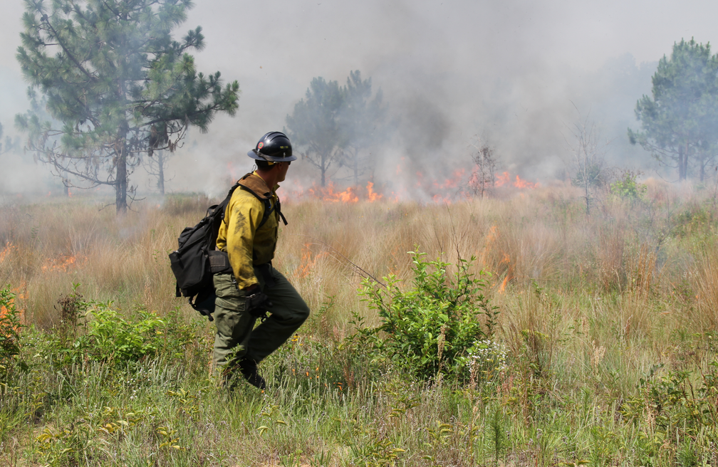
Photo courtesy the U.S Forest Service.


Leave a Reply
You must be logged in to post a comment.