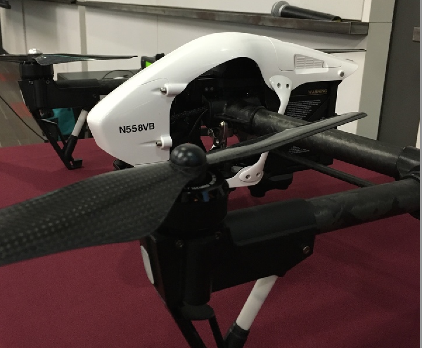
Drones. Those unmanned aerial vehicles (UAVs) that everyone from Modern Family’s Phil Dunphy to the Dalai Lama are taking a turn at piloting.
Drones are quickly changing the information landscape with the possibility of being the most highly disruptive technology since the cell phone. They are true robots, tasked by their human masters for all types of applications that would otherwise be too difficult, dangerous or expensive to accomplish.
Drones are deployed for a wide variety of tasks. But whether they are used to find crab grass on golf courses, create roof damage reports for insurance companies, or find lost campers in the woods, the one thing that binds all drone applications together is geography. Working in the spatial domain is what they do, both navigating and collecting information with photos and video – essentially capturing our world at both the macro and micro level.
To answer all of your drone related questions, GovLoop and Esri hosted a meetup focused on how agencies can make the best use of drones and the imagery they collect by using the ArcGIS platform. ArcGIS technology combines the power of drones with the power of GIS to transform remotely sensed content into actionable information.
The Era of Drones
“There will be explosive growth in drones for the next five years,” said Gerry Kinn, an Esri product engineer. “As the drone platforms stabilize over the next five to ten years, the cost of drones are going to drop.”
Even without market stabilization, early commercial UAV adopters are looking to legally fly by requesting exemptions from the Federal Aviation Administration (FAA). The FAA received 1,125 petitions in 2014, and about 6,500 petitions by November 10, 2015. Of those, 2,256 petitions were granted.
Working within Regulations
You might be wondering why the pilots of commercial UAVs need to file exemptions with the FAA – and the reason is because the drones are considered registered commercial aircrafts. Basically for commercial drones they must follow the same rules and regulations as passenger airplanes. But since drones don’t have passengers, fuel or in-cockpit pilots they must file exemptions. “Basically, it’s our job to identify sections that cannot be met due to the nature of the UAVs,” said Paul Beckwith, President of Navigator CS.
But surprise! Exemptions can be very restrictive. The FAA has the following requirements for UAVs:
- UAVs must weigh less than 55 lbs
- A licensed pilot and a visual observer (two people)
- Only daytime flights
- Maintain Visual Line of Sight at all times during flight
- Max altitude: 400 ft, 200ft with standard COA
- No flying within 5NM of airports with control towers (less for other airports)
- No flying in NOTAM restricted areas, National Parks, Military and Federal Facilities and more
- Obtain permission from property owner and owners of adjacent property within 500 ft of flight path
- Permission of participants
- Initiate avoidance maneuvers
- Stop flight if there are safety risks
Pilots must also log every flight path with the FAA and file monthly reports, which can be cumbersome for government agencies. Beckwith and his team are currently flying UAVs for construction firms. They use the drones to inspect buildings, check roofs and damage without having to put a worker on a crane or in a dangerous position.
But once you are in the air, the drones can make a huge impact. For example, using drones and their produced images with an overlay of the ArcGIS platform, Esri has created a living atlas. The living atlas is an allocation of thousands of maps created by thousands of users around the world. It is an exploration of people, places and the intersections that impact them.
Resources from the Speakers:
Link: Living Atlas About
Link: Featured Maps Gallery from the Living Atlas
Link: Living Atlas Contributor App
Presentation: Adventures in UAS


MAY I ATTAIN MORE DETAIL ON THE PROCUREMENT OF THESE DRONES?