This blog post is an excerpt from our recent report done in partnership with Esri, Resilient by Design Solving What Keeps Community Leaders Up at Night. To download the full report, head here.
Resiliency is the capacity of a city, county or community to survive, adapt and overcome chronic stresses and acute shocks, according to the Rockefeller Foundation.
Modern challenges that governments face today are evidence that it can be more difficult than ever to become truly resilient.
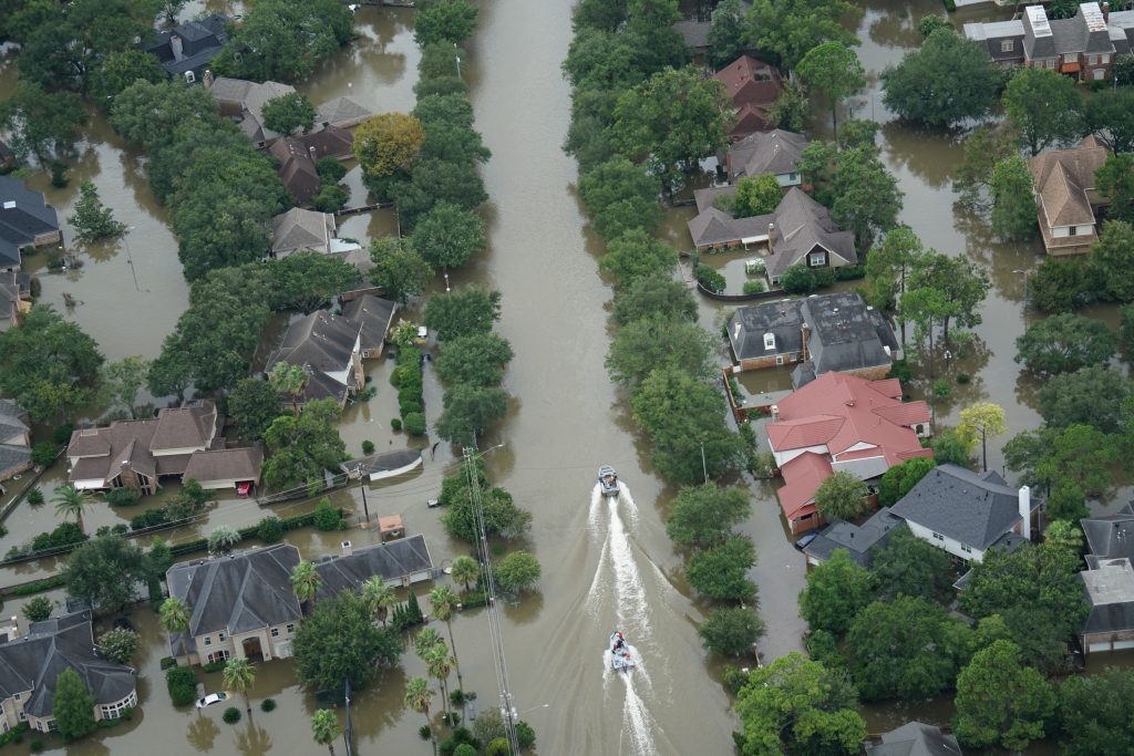
But ignoring resiliency efforts can put governments and their communities at risk of succumbing to chronic stresses or acute shocks, which are ongoing events that weaken the fabric of a community on a day-to-day or cyclical basis and sudden, sharp, often unexpected events that disrupt and threaten a community, respectively.
Chronic stresses that affect a community can be anything from social inequity or inefficient transportation to a lack of affordable housing. Acute shocks – the most difficult situations for which to prepare – can include natural disasters, terrorist attacks, disease outbreaks and others.
A community that prioritizes resiliency knows that it’s not a matter of if but when that chronic stressor or acute shock will occur. Efforts are then placed on advanced preparation and ways to quickly rebound. And many communities are practicing resiliency already.
Because so many resiliency issues deal with location-based data, GIS is an essential tool for communities to use to understand and articulate where these challenges are, where they’re likely to be in coming years, as well as how and where these unforeseen issues can be either mitigated or rectified.
